This booklet is an atlas with detailed information of each site and mini guide maps from one site to the other. This help setting up a relationship between each site and locating them clearly. An introduction about the present issues in the Pokfulam Village is included at the last pages of the atlas.
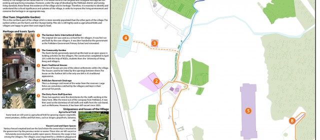
Read MoreAn to-scale guide map is created in showing touring routes around the village. The map is mainly focused on the roads and the significant buildings or sites. The one at the bottom is a panel for general information on site. The maps on the right are handy maps for visitors with a brief introduction to the village’s background.
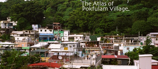
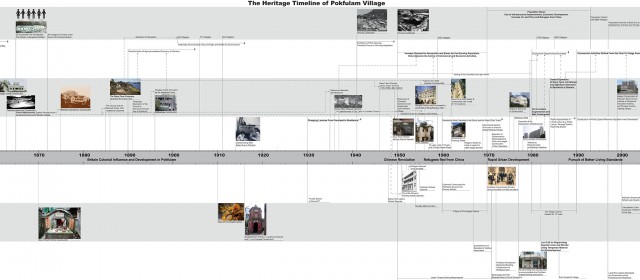
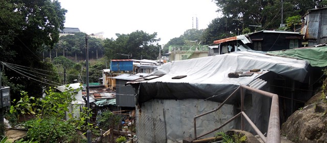
Read MorePokfulam Village is one of the existing traditional settlements on the highly urbanized Hong Kong Island. The history of the village can be traced back to 1973。 Some of the tangible and intangible heritage still exist and are being practiced nowadays. However, the urge of developing the Pokfulam district and raising living standard threat the existence of the village and its heritage. Therefore, it is essential to identify and...
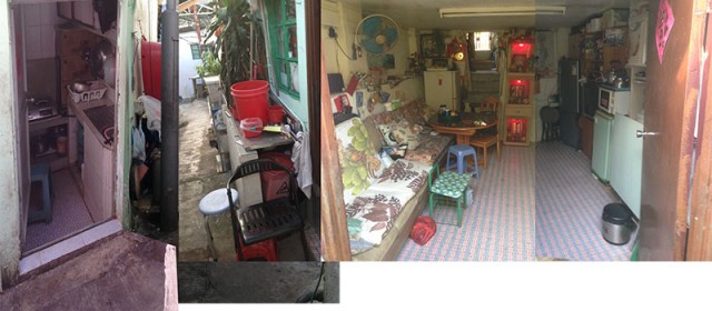
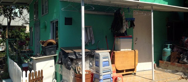
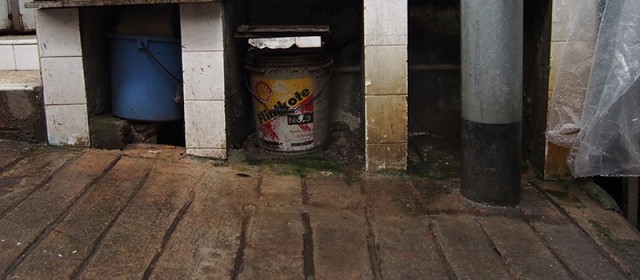
Read MoreThrough careful observation, I found that due to space limitation, many of the domestic space is fragmented from the living room, included kitchen, laundry space and bathroom. With the domestic needs fragmentation, public pathway become space for domestic activity as well, such that if we define a boundary of a house by activities, the border is extended. The boundary of houses is redefined. It expands with activity ,and thus time....
Read MorePok Fu Lam Village is a very unique and distinctive place and it is different from other living environments in Hong Kong. As an informal settlements, there is little significant order to follow, everything is just settled and accumulated randomly and progressively over time, without any uniform order to determine how things are organized in the village. It is hard to identify the systems and how materials come together by simple...
Read More(Left) 1) Mapping the road cleaned by the government and the villagers. And most of the road is cleaned by the villagers. 2) Mapping the location of the official and unofficial trash collection points. (Middle) Mapping the distance between the official trash collection points and the properties. Density of the trash collection points are not highenough in the village. Most people need to walk a long way in order to reach the closest...
Read MoreFloods in the village Flooding has been one of the major concerns among Pokfulam villagers. Although the chances of floods in Pokfulam village is greatly reduced in recent days due to the improvement and upgrades of sewage done by the government, there are still potential flooding blackspots exist. The main reason is that the Pokfulam reservoir will release it’s water storage when the actual amount of water go beyond the bearing...
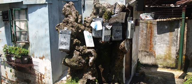
Read MoreLetterboxes have been my interest since I first entered the village and my system mapping maps out the location of the letterboxes, the route of the postman and the relationship between letterboxes and their relative properties. By mapping a total of 300 letterboxes and its relative owners property in the village, a distribution pattern of letterboxes is revealed. Some letterboxes are gathered due to topography, property and , of...
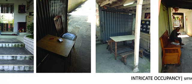
Read MoreIn Pokfulam village, we can easily spot items, furniture and structures in nearly all public space. These private properties are not placed to occupy the public area but served to provide villages with better spatial quality. Long benches and rain shelters are the most common examples of private properties that appear in the common area. Tiles spread out to the road is a special example we can find in Pokfulam village. The owners of...
Read MorePokfulam village is a place without public sewage system. That means that wastewater produced by villagers would not be treated. On the contrary, the wastewater flows directly into the rainwater channels and is transported to the Waterfall Bay. The combined system of sewage and rainwater spoils this beautiful village. Villagers’ houses are near shallow drainage. Wastewater from houses first goes into the shallow drainage, then flows...
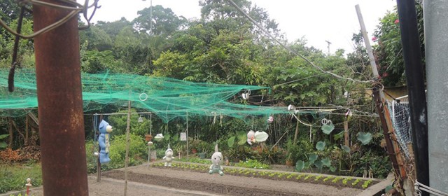
Read MoreAfter completing material mapping, I realised that the vegetation in Pok Fu Lam Village has quite a scattered pattern – it is mostly found around the area where there are less buildings. I decided to map out the sunlight and shadow area of Pok Fu Lam Village in order to show how blockage of sunlight affects the growth of vegetation.
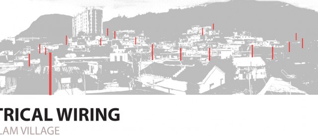
Read MoreInspired by the photo diary, I investigated on the electrical wiring in village. I first started with the provision of electricity then looked into the use of poles and the arrangement of componenets through space. In fact the overhead wires could be seen as a similar representation of the ground circulation. Each pole is linked to another pole and houses are grouped by having the same pole providing electricity. A logic is discovered...
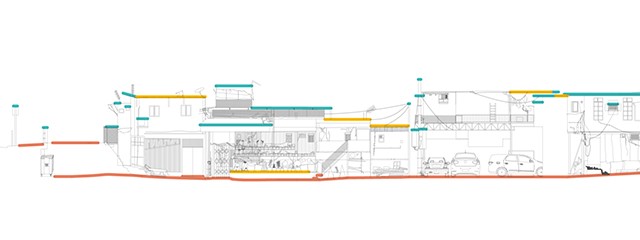
Read MoreHow does Pokfulam Village adapt to the topography? Pokfulam Village is a very special and unique place, shaped by numerous external factors and constraints. One of them is the unique topography. It nurtures the village, but at the same time brings many other problems to it. In face of special topography like steep slopes, people advocate demolition instead of adaptation most of the time. Yet, Pokfulam Village is a rare place in the...
Read More